Geopark Ries
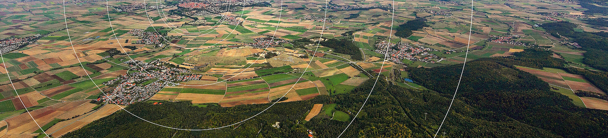
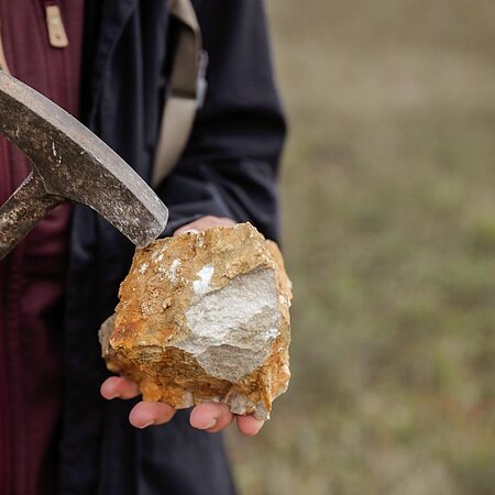
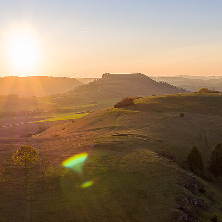
The UNESCO Global Geopark Ries represents an absolute top-rank, special geological feature. The “Ries event”—the impact of a meteorite (asteroid) about 14.5 million years ago—affects the region even today. The impact crater Nördlinger Ries is the best preserved crater in Europe. The shallow crater basin has a diameter of 25 km and is largely not forested. The crater basin and up to 150-m-high rim are very visible in the landscape. The Ries Crater is also exceptional because it is densely populated.
The UNESCO Global Geopark Ries has an area of about 1,750 km² and is a network extending beyond state and district borders. The larger part of the Geopark area is in Bavaria, a smaller part is in Baden-Württemberg. In total, five districts with 53 communities are involved. The design of the Geopark is a complex development process.
")

Setting
To display the administrative borders as well as the exact locations of administrative offices on the interactive map “UNESCO Global Geopark Ries” - just click on the corresponding heading in the menu on the right (under Search filter). Please note that most administrative district offices are located outside the UNESCO Gloabl Geopark Ries. To see the contact addresses of the participating communities displayed on the interactive map, click on the respective symbol directly on the map.
The administrative district offices respective administrations are provided in the list overview.