Geopark Nature Trail Daiting
Iron ores and laminated limestones (4+2 km)

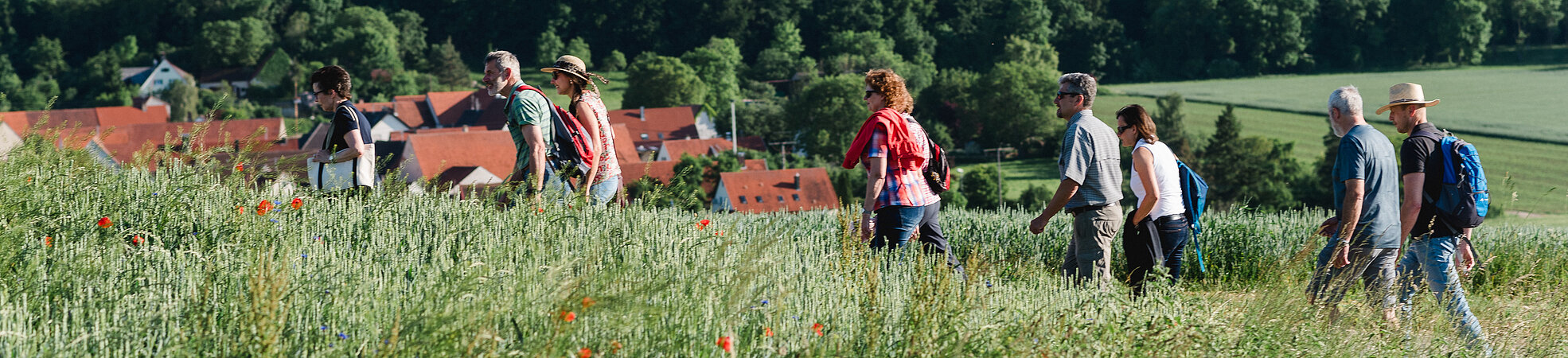
The Nature Trail "Iron Ores and Laminated Limestones" shows how geology, nature and man interact and what very special geological stories the landscape tells.
About 150 million years ago this area was a subtropical landscape of islands, lagoons and a warm, shallow sea. From the calcareous reefs of that time arose laminated limestone, which reveals fossilized marine animals, land creatures and flying animals of the Jurassic period. Even a specimen of the flying Archaeopteryx was found here. Around 15 million years ago, the impact of the Ries asteroid drastically changed the geology, making it quite varied. Here, rock masses ejected by the impact directly border the much older Jurassic limestone of the Franconian Alb.
Active nature conservation, former quarries as habitats for rare animal and plant species as well as the importance of sheep grazing are further topics of the nature trail. Entertainment is provided by a plant quiz for young and old that accompanies hikers along the way.
The four-kilometer-long Geopark Nature Trail in the southeast of the UNESCO Global Geopark Ries is completely signposted. Special features of local geology, nature and settlement history are illustrated and exciting stories are told on 13 large and small info-panels. An alternative two-kilometer-long trail is also marked.
The development was supported by the nature conservation project “Quarry Sites in the District of Donau-Ries – from Wound in the Landscape to Nature Paradise“of the Bavarian Nature Conservation Fund, from special-purpose earnings of the GlücksSpirale lottery.
Diese Website nutzt Google Maps. Beim Aktivieren der Google Maps - Karte geben Sie Ihr Einverständnis, dass Inhalte von Google geladen und dadurch Ihre IP-Adresse an Google übertragen wird. Mehr Informationen und eine Möglichkeit zum Ein- und Ausschalten dieser Datenübertragung finden Sie in unserer Datenschutzerklärung. Wenn Sie die Goolge Maps – Karte jetzt ansehen möchten, klicken Sie auf Google Maps einblenden.


Brief Information

Total length: 4.2 km
gps data
GPX - FileInfo-Adresse:
Standort-Adresse:
Parking:
Parking lot at Sportplatz Daiting (athletic fields)